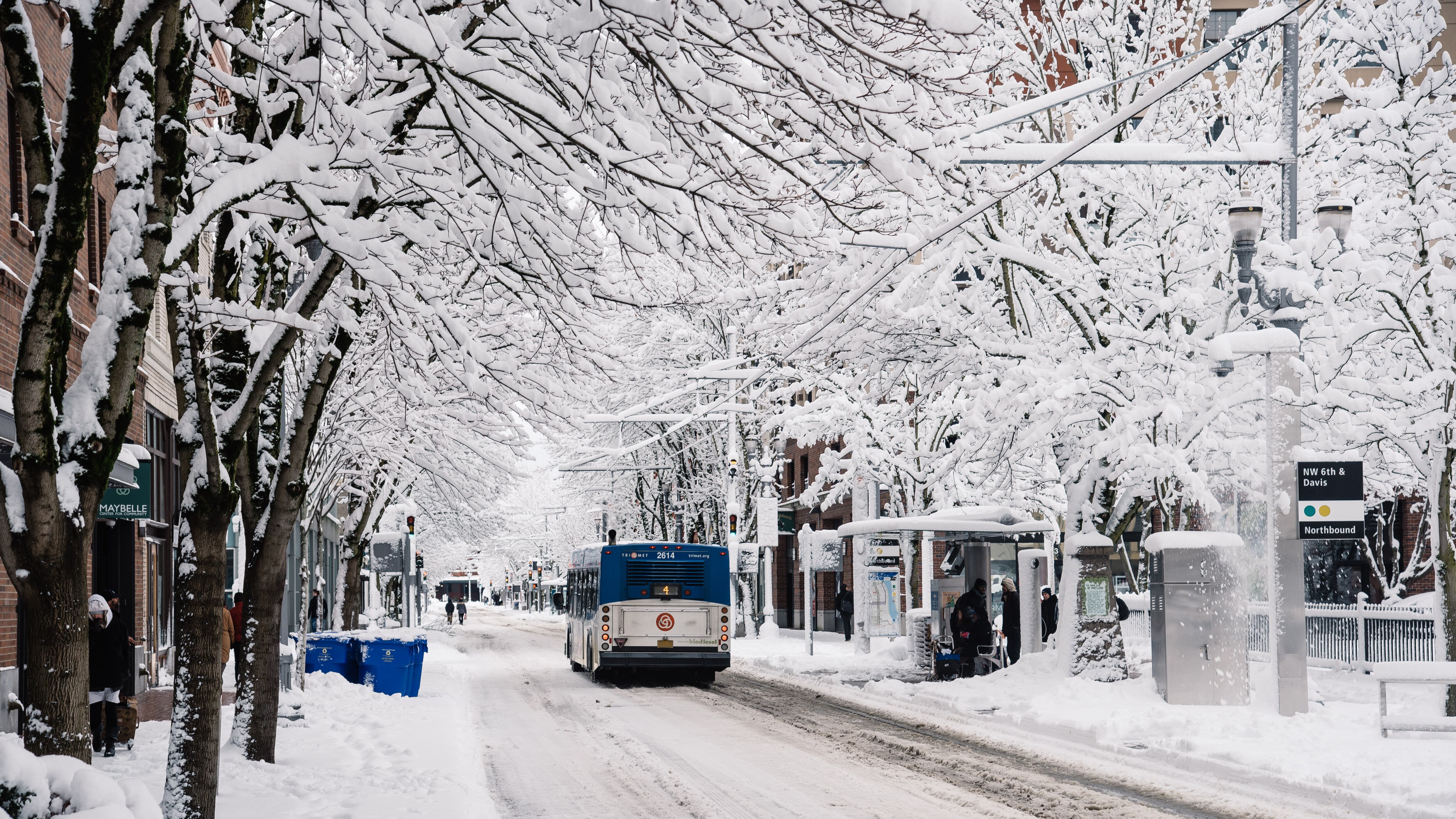
There may not be snow in the forecast, but the National Weather Service is now predicting the just as miserable but not as pretty alternative: freezing rain.
"It looks like we could see a pretty good amount of ice accumulation starting early tomorrow morning and continuing through the morning hours and possibly even in to the afternoon and evening commute times especially for areas east of I-5," says meteorologist Will Ahue.
Ahue says the freezing rain will be around for pretty much the whole morning, probably starting around 3 to 5 am, with the freezing rain continuing through the morning hours. He predicts the Metro area will get above freezing around noon on Tuesday, when the freezing rain will turn to just cold rain.
We should see temperatures in the upper 40s on Wednesday, but until then, Ahue says we could see upwards of half an inch of ice near Troutdale and a quarter inch to three-tenths of an inch of ice in the metro area on Tuesday.
Originally, the National Weather Service was predicting a high of 48 degrees on Tuesday. Now, they say that warm front is going to be coming in later than they thought.
"Today, we're going to be hard-pressed to get above what we got to yesterday," Ahue says. "Today's highs are going to be around maybe 27ish."
Wednesday and Thursday should bring warmer temperatures, but also periods of heavy rain, which is likely to cause urban flooding.
"The amount of rainfall one to two days ago seems to be a little bit less now, so the threat for river flooding is still there, but it's less than it was 48 hours ago," he says. "But the threat for small stream and urban flooding is high."

