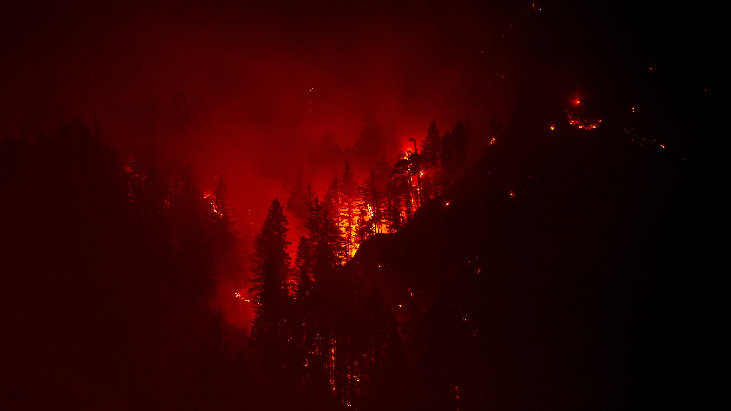
The thick smoke rising from the flames that have engulfed the Columbia River Gorge has made it difficult to see exactly where the fire begins and ends, but an infrared camera deployed by Hood River-based Hood Tech Corp captured the movement of the brightest, hottest spots along the ridgeline.
The Eagle Creek fire that erupted on Sept. 2 has been moving west toward Portland and growing at a rapid rate.
Eagle Creek Complex 05SEP17 from Hood Technology on Vimeo.
Nicholas Wood, who helped capture the infrared footage from 9,000 feet in a Cesna 182 airplane, said he thought the fire looked like it had doubled in size between Monday and Tuesday mornings.
"We have a moving map like our own Google Earth going that shows where we're at and where our camera is looking," Wood says. "We can identify the location and size of fire and where the intense heat locations are."
Related: Multnomah Falls Engulfed in Flames as Out-of-Control Wildfire Races West Through Gorge
Although westward winds have slowed the movement of the fire, embers have ignited smaller satellite blazes along the gorge, jumping the Columbia River and spreading the flames to Washington. Wood said he thinks the footage caught some new fires before anyone else could see them Monday morning.
Eagle Creek Fire 04SEP17 from Hood Technology on Vimeo.
Hood Tech Corp wants to make one more flight this afternoon before the smoke gets too thick to safely fly. Wood said his team would be looking for any expansion of the flames and pay special attention to whether the fire line was approaching homes and other infrastructure.
In the video made public by Hood Tech Corp, the fire can be seen spreading across the gorge, burning up fir trees and dried brush. The company wants to share whatever it can with the National Forest Service and other agencies working to fight the fire.
"We're trying to give them whatever we can," Wood says, "because if Hood River burns that wouldn't be good for us."

