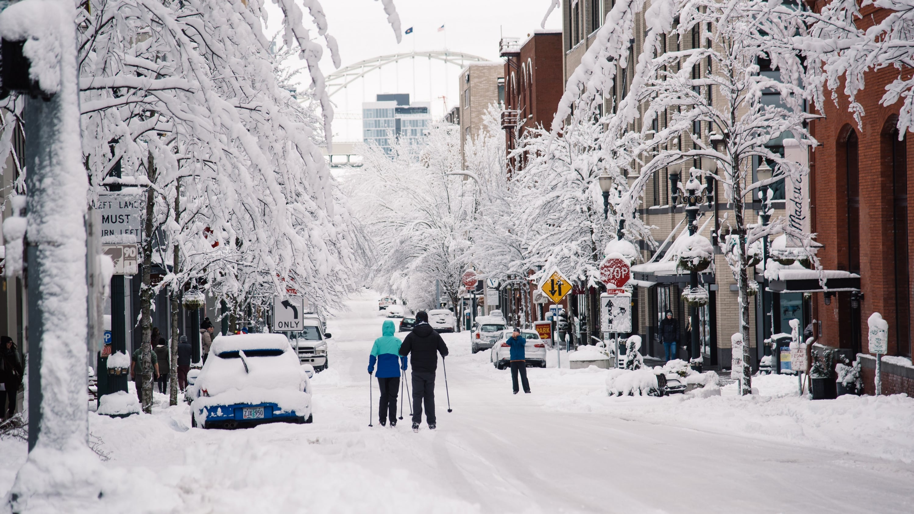
So where's the snow?
Yesterday the National Weather Service put out an alarming message warning Portlanders of icy road conditions this afternoon, the likes of which have not been seen since December 2016—when crashes averaged five an hour and people abandoned cars on the side of the road.
But so far the snowfall has been meager. The NWS says that could change this afternoon. When exactly that will happen is still the question.
"This morning we were leaning more towards heavy snowfall around noon," NWS meteorologist Andy Bryant told WW. "Now it's looking like it'll be closer to five or six before things get really bad."
Bryant adds that "everything is playing out more slowly than we expected."
He says that Oregon Department of Transportation crews have been out monitoring road temperatures, which are remaining around 40 degrees—not cold enough for snow to stick. However, air temperatures are still in the low 30s—cold enough for it to keep snowing.
If it starts snowing harder before the sun goes down, the Weather Service says, road conditions could deteriorate before dawn. If not, expect ice to accumulate post-sunset this evening.
Snow will begin to accumulate on roads when 1 of 2 things occur: the sun goes down or snowfall rates increase. We know sunset is 5:30-6 & expect snowy roads after that time. Tough part forecast is whether snowfall rates increase before then; still possible 3-6 PM. #PDXsnow
— NWS Portland (@NWSPortland) February 20, 2018
Either way, the NWS is still urging people to stay off roadways during rush hour.
"It might feel awkward to leave work while the roads are still clear," Bryant says, "but what we're trying to avoid is people getting stuck. A lot of us Portlanders remember the experience of trying to drive home while conditions deteriorated rapidly."
In other words: the snowpocalypse might clog up this afternoon's commute, and it might not. Either way, it probably pays to play it safe.
