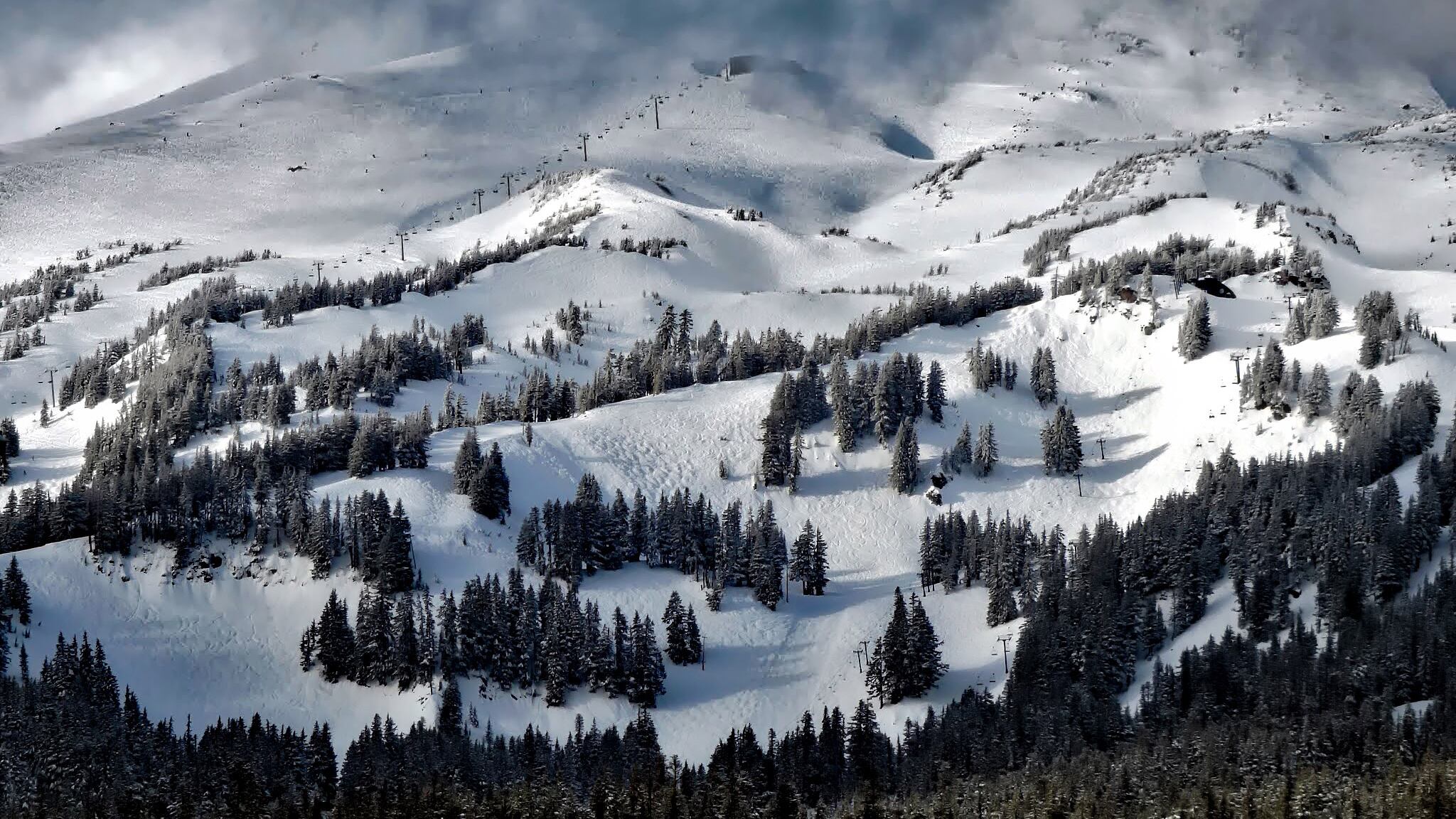
The snow and heavy rain that blanketed the Pacific Northwest over the past two weeks brought area snowpack levels up nearly 30 percent.
Since the start of February, data from the Natural Resources Conservation Service of Oregon show, snowpack in the Willamette basin region has increased from 51 percent of normal to 83 percent of normal.
A nice visual of Oregon's snowpack progression from yuck to meh to hey not so bad to we're within striking distance of normal. pic.twitter.com/kSEcyGDzv7
— Zach Urness (@ZachsORoutdoors) February 18, 2019
Snowpack levels west of the Cascades are still some of the lowest in Oregon. In its February report, NRCS noted that Willamette Valley precipitation levels were 59 percent of average in January.
"If conditions remain similar," the NRCS wrote in a report on Feb. 1, "water supplies in the [Willamette] basin are likely to be well below normal to below normal this summer."
In the weeks following that report, Portland was blanketed by snow and pummeled with rain. While Winter Storm Maya didn't hit Portland as expected, towns along the Columbia River were transformed into ponds after a Feb. 12 deluge deposited around four inches of rain.
In the eastern part of Oregon, where snowpack levels have been higher than the rest of the state since the start of the water year (which is Oct. 1) snow water equivalencies hover at around 115 to 130 percent of normal.
But Julie Koeberle, a snow hydrologist with the NRCS, told WW last month that increased snowfall doesn't necessarily mean we will avoid another hellish wildfire season.
Related: More Snow Is Good News—But It's No Guarantee Oregon Will Escape Wildfires
"Once the snow melts, [fire activity] has to do with how dry the soils are; how soon, hot and dry the summer is; and the occurrence of dry lightning in the mountains," she said. "2017 was an abundant snow year but a devastating fire year. Once that new growth dries out, it can become fuel for fire."
