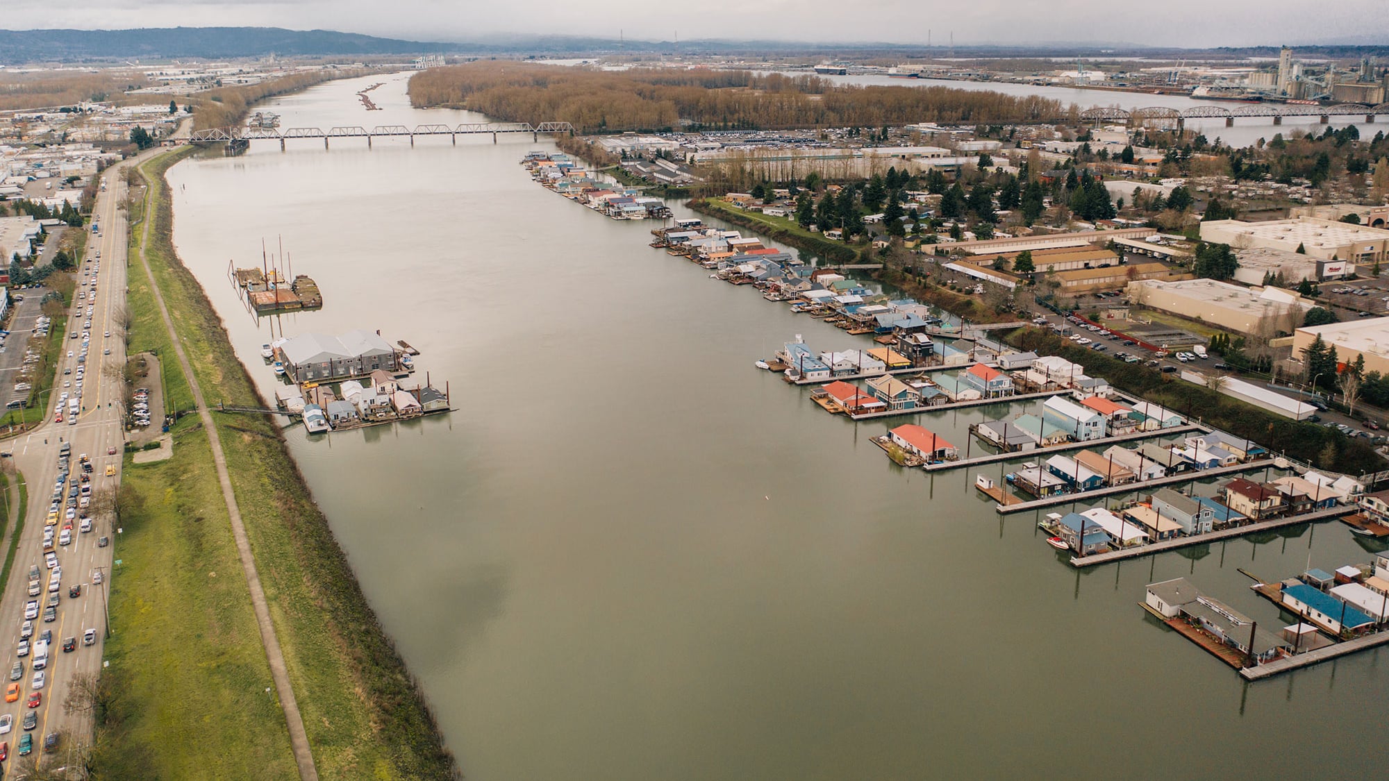
The Multnomah County Drainage District today announced that the U.S. Army Corp of Engineers has greenlighted a plan for strengthening the 27 miles of levees that keep Portland International Airport and much of the city’s industrial base from flooding.
Recent storms on the Gulf and East coasts that have brought record rainfall and devastating flooding show the risks that increasingly extreme weather events pose. Although Portland has been spared from such inundations in recent years, the 1948 Vanport Flood, which killed 15 people and displaced 18,500, shows the might of the Columbia River system, which includes the Willamette River.
As WW has reported previously, the levees that protect the city and run from the mouth of the Sandy River in East Multnomah County to the BNSF Railroad bridge in North Portland have aged into disrepair and, in some places, may be inadequate to contain historically high water.
Some critics, including the Bridgeton Neighborhood Association in North Portland and the Audubon Society of Portland, have raised concerns about parts of the Corps’ plan. But the feds also hold the purse strings—it’s likely that they will pay two-thirds of the estimated $175 million price tag of bringing the levees up to robust modern standards.
The MCDD says the Corps’ plan will now be sent to the assistant secretary of the Army and the federal Office of Management and Budget for approval. If they sign off on it, the plan would then go to Congress for funding. MCDD says if those steps occur, construction could start in 2025.
Oregon’s congressional delegation cheered today’s announcement.
“Climate chaos is not a distant possibility that we can ignore,” said Sen. Jeff Merkley (D-Ore.) in a statement. “That’s why now is the time to do everything we can to make our communities as resilient as possible, including by helping Multnomah County install a levee system to keep Oregonians safe from inevitable Columbia River floods. Without action, lives and livelihoods will continue to be put at even greater risk.”
