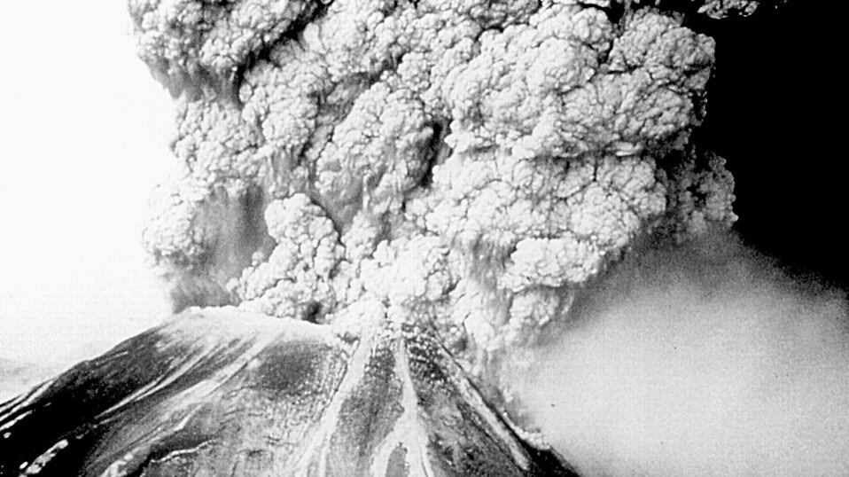
On May 18, 1980, Mount St. Helens erupted, blowing 1,300 feet off the mountain and killing 57 people.
In a 2005 Willamette Week retrospective, Patty Wentz wrote about the significance of the event.

The explosion, which shot ash 80,000 feet in the air, was so major, it could be seen in space.
Today, one of the least-appreciated government agencies, the National Environmental Satellite Data and Information Service (NESIDS), released video showing what the eruption looked like from space.
37 years ago today, the GOES-3 satellite captured this imagery of the Mount St. Helens eruption! Learn more @ https://t.co/BzLSvTGk6h pic.twitter.com/AHaWmzpb7o
— NOAA Satellites (@NOAASatellites) May 18, 2017
Seattle's National Weather Service also posted this video of the explosion, showing a bright burst of infrared.
Mt St. Helens eruption on this date in 1980 sent an ash plume to 80,000 feet in less than 10 minutes - here's an infrared loop of it. #wawx pic.twitter.com/yk5rT2sqlJ
— NWS Seattle (@NWSSeattle) May 18, 2017
Here's the original KGW broadcast of the event.

