Soak up today's blue skies, because it's about to get dreary out.
The National Weather Service forecasts heavy rain in Portland on Thanksgiving, and potential snow accumulation on Oregon Cascade Passes starting that Thursday afternoon.
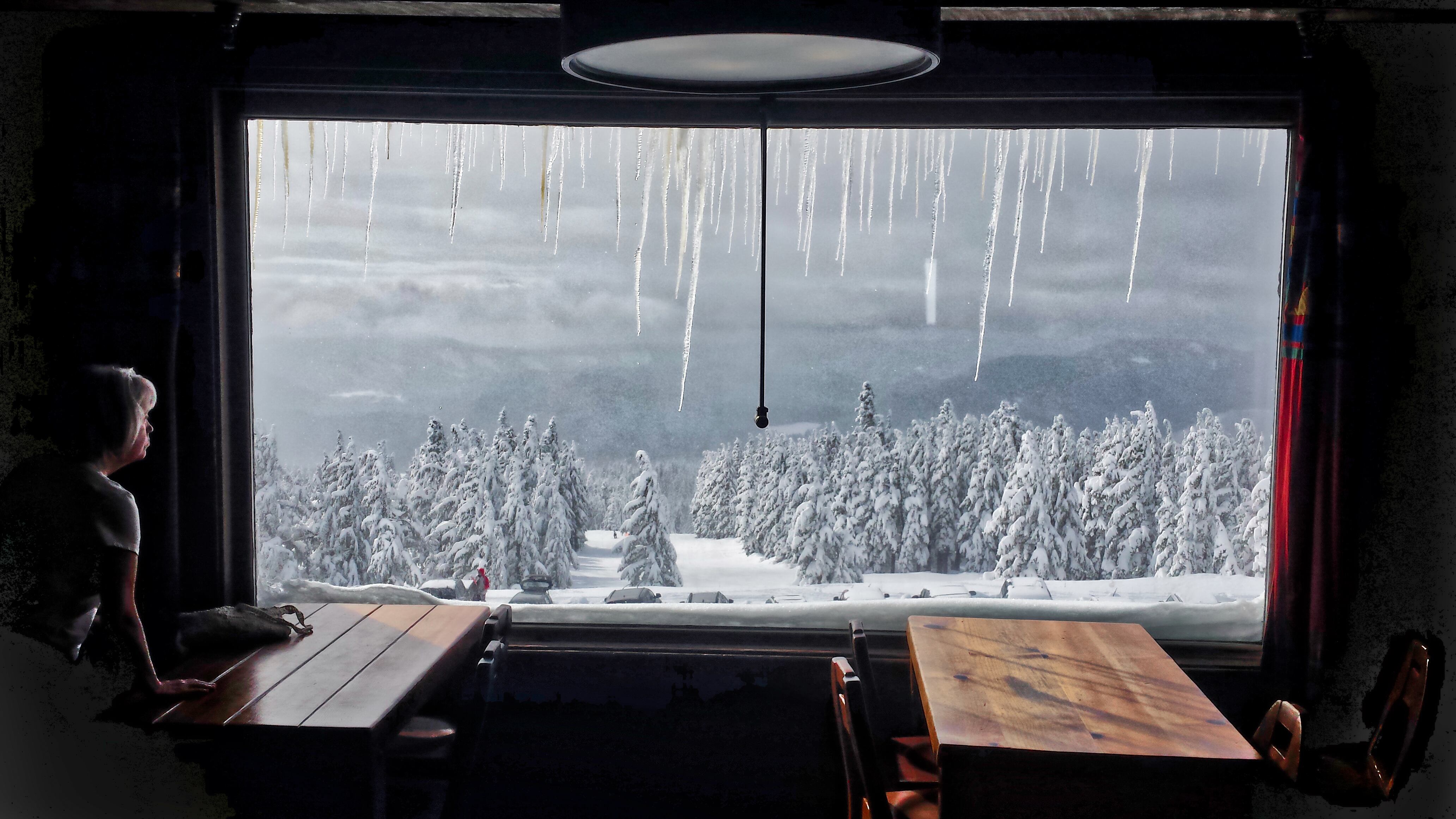
Portlanders traveling out of town over Government Camp, Willamette Pass and Santiam Pass highways should prepare for potential ice and snow through the weekend, Oregon Public Broadcasting first reported.
While snow is predicted to start accumulating above pass levels Wednesday, NWS says it will "gradually drop to around 3,500 feet by Saturday morning."
Rain returns Wednesday morning and continues at times into the weekend. Heaviest rain is expected Thanksgiving afternoon. Snow levels will start Wednesday above pass levels, then gradually drop to around 3500 feet by Saturday morning. Accumulating snow is possible at passes. pic.twitter.com/hBICbrAh1w
— NWS Portland (@NWSPortland) November 19, 2018
NWS Portland also cautions locals to clear out storm drains and gutters before this weekend's heavy rains to avoid flooding.
While Larry may not be a turkey, with rain in the forecast for this weekend, now would be a good time to check your storm drains and gutters. #orwx #wawx #pdxtst pic.twitter.com/LH6UCDNvpC
— NWS Portland (@NWSPortland) November 20, 2018