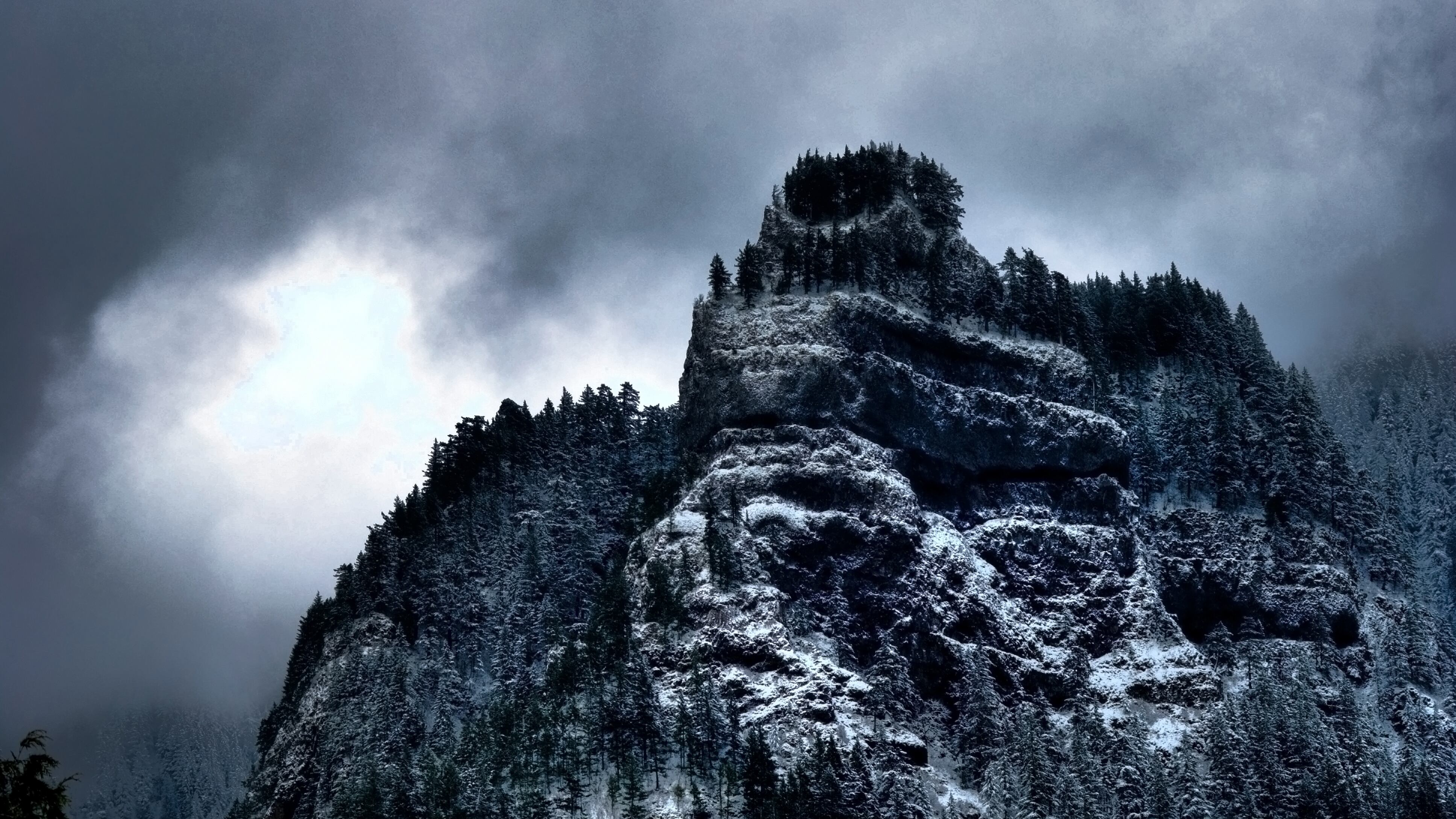
There's much more snow in Oregon mountains this year than this time in 2018. But the Pacific Northwest still needs to catch up.
If the snowpack in Oregon were assigned a letter grade, the eastern part of the state would be on the honor roll, while the west earned a measly D average.
Currently, the "snow water equivalent" in the Cascades is hovering around 65 percent of normal. In some eastern counties, snowpacks have soared to over 100 percent of normal. That's a sharp increase from last February, when snow water equivalents across the state ranged from 33 to 54 percent of normal.
Still, Julie Koeberle, a snow hydrologist with the Natural Resources Conservation Service, says a heavy statewide snowfall doesn't necessarily mean we will avoid another hellish wildfire season.
"Once the snow melts, [fire activity] has to do with how dry the soils are; how soon, hot and dry the summer is; and the occurrence of dry lightning in the mountains," she says. "2017 was an abundant snow year but a devastating fire year. Once that new growth dries out, it can become fuel for fire."
Here's a look at snowpack levels around the state now, compared to the past two years, in numbers that represent percentages of average.


