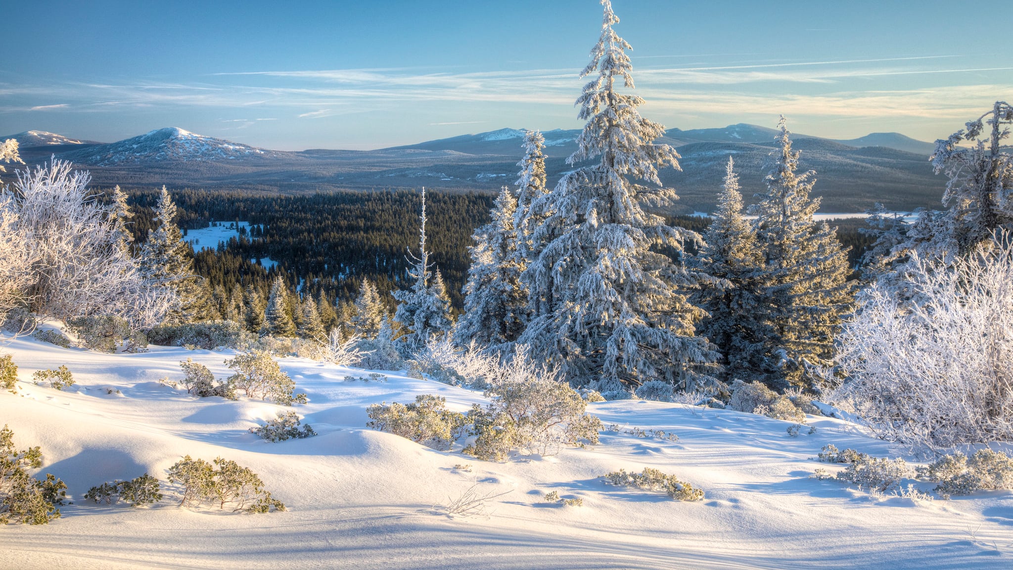
During the shortest month of the year, record amounts of snow and rain dumped over Oregon. February's stormy weather—while destructive—caused snowpack levels to soar to above average levels throughout the state.
In every region, except for the Hood basin along the Columbia River Gorge, snow water equivalents are now above 100 percent of normal.

"February storm cycles more than doubled the amount of snow on the ground in most locations," a March basin outlook report from the Natural Resources Conservation Service reads, "breaking many records along the way."
NRCS notes that every monitoring site around the state got above average February precipitation, most over 200 percent of normal, and some set new records.
"Seven of Oregon's long-term snow monitoring sites (with over 35 years of measurement) broke their records for highest March 1 snowpack," the report reads, "and over 30 percent of these sites experienced their highest February snow accumulation on record."
In the Willamette Valley, snow water equivalents rose from 51 percent of average at the start of February to 110 percent of average currently.
Related: Portland-Area Snowpack Levels Have Risen by Nearly 30 Percent Since the Start of February
Precipitation for the month of February in the region was also 151 percent of average last month.
The increase in water level is good news for streams, drinking reservoirs and ski resorts. But, the NRCS report notes, sustained warm, dry stretches in the next few weeks could still diminish water reserves.
As well, Julie Koeberle, a snow hydrologist with the NRCS, told WW at the start of winter that increased snow packs don't mean decreased fire risks. The plants that grow this spring could still wilt and become tinder.
"Once that new growth dries out," Koeberle said, "it can become fuel for fire."

