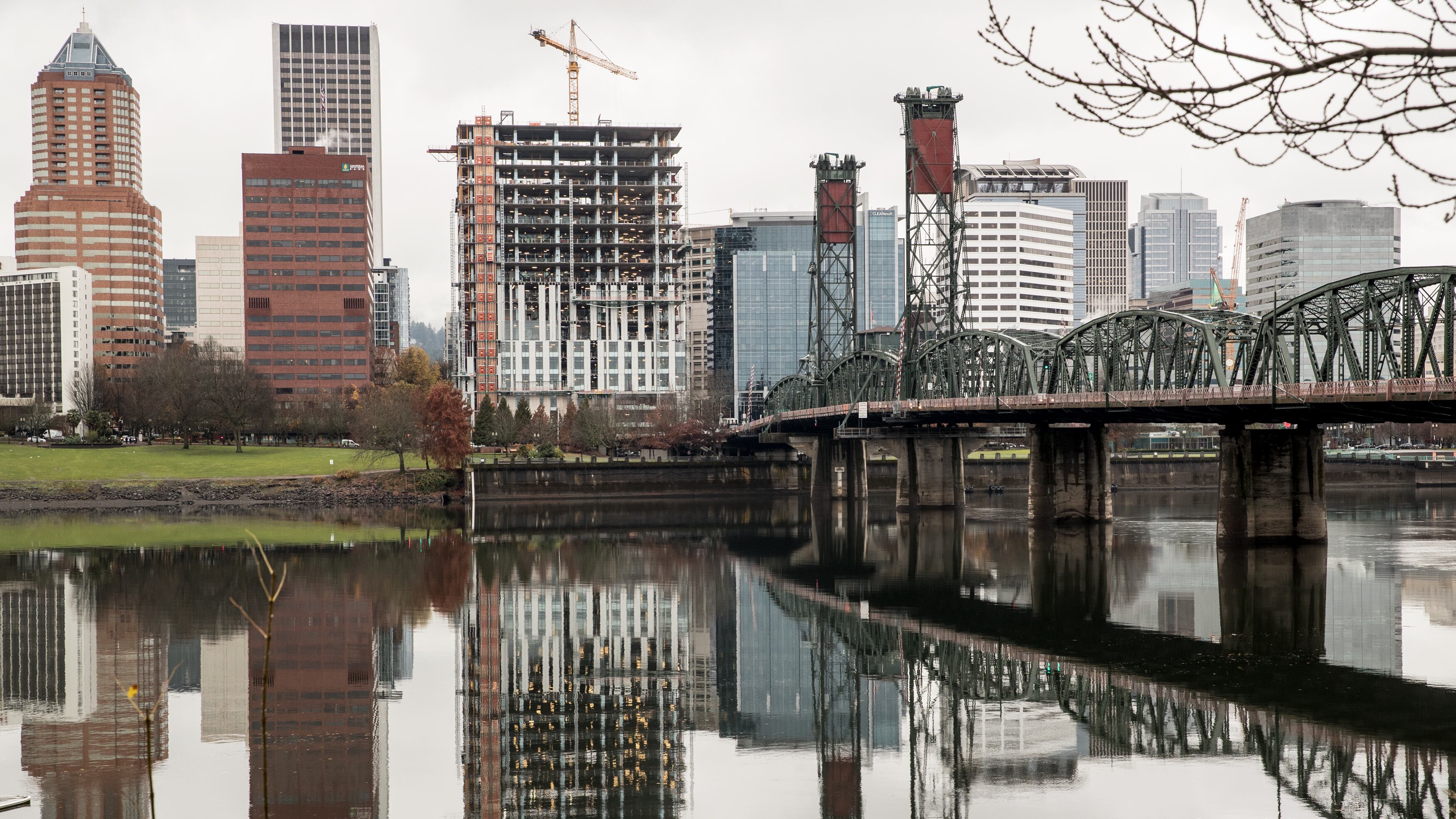
It's unusual for Portland to get flood warnings this time of year, but the National Weather Service says heavy rain from Northeast Oregon is overwhelming local watersheds.
The agency today put out a warning for high flows on the Willamette and Columbia Rivers, which hydrologist Andy Bryant says could affect the Eastbank Esplanade, some low-level trails downtown along the Willamette and in other scattered parks along the Columbia.
With high flows moving down the #Willamette and #Columbia, we'll see river levels just below flood stage for #Salem and #Portland metro. Main impact will be flooded roads, parks, and trails right along rivers. #ahps #orwx #pdxtst #wawx pic.twitter.com/tFynW82UNe
— NWS Portland (@NWSPortland) April 10, 2019
This is the latest in a calendar year that Northwest Oregon has experienced flooding from rivers.
Bryant says the while the flooding events in Portland will likely be minor. "It's just unusual for this time of year," he says.
"Part of what's odd about it is we haven't had that much rain in Portland," Bryant says. "People might be wondering why it's flooding. But it's water that's coming from other parts of the Northwest—it's imported water that's affecting Portland."
In Salem, the Statesman Journal reports, low-elevation roads and parks are shut down in anticipate of the highest river levels since 2012. And in Eugene, around 500 people have been evacuated from their homes since Tuesday due to flooding of the Willamette.
People are boating on Highway 34 in Corvallis, thanks to Willamette River floods.
WOW 😳 check out this boater speeding along a flooded section of Hwy 34 in Corvallis, Oregon.
— KATU News (@KATUNews) April 10, 2019
The four-lane highway will remain closed until the water recedes: https://t.co/RKDwEIYh21 pic.twitter.com/YsWYiMgXgn
The flood warning is in effect throughout the weekend for towns along the entire length of the Willamette.

