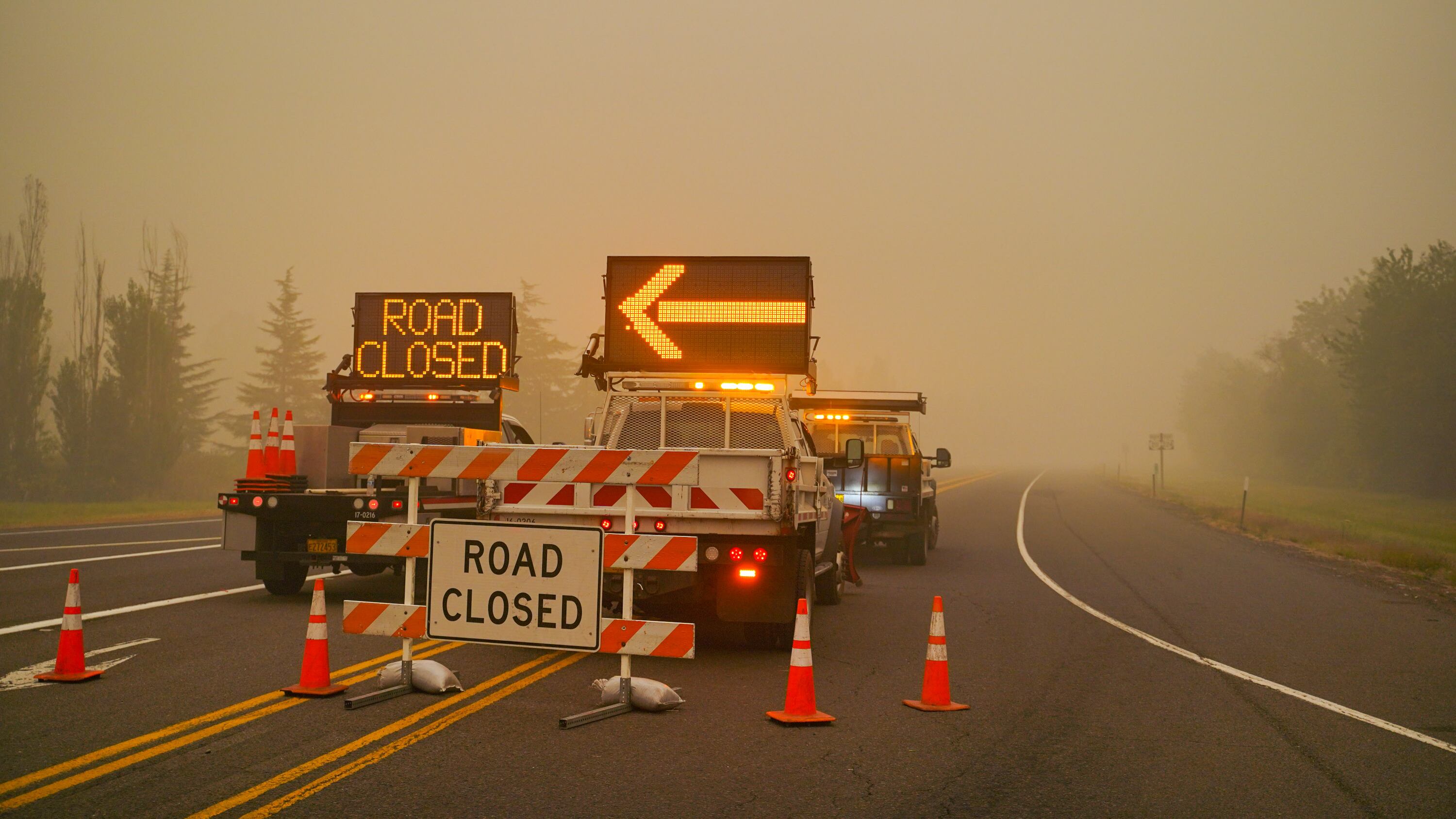
The Oregon Department of Transportation says the immense wildfires of the past week have closed 244 miles of roads, most of them state highways.
Flames, smoke, downed power lines, trees, and other debris can cause serious damage to the road surfaces, traffic signals, and guardrails, leading to highway and road closures.
"This is such a dynamic and constantly changing situation, we have to make sure these roads are cleared," Luci Moore, ODOT maintenance and operations engineer, said in a Sept. 16 statement. "There are many concerns that we will address. It is likely to be some time before these roads open to full or even partial travel. Each will be determined individually based on the damages."
The biggest danger: so-called hazard trees, which are trees killed or made unstable by the fire that threaten to topple onto passing cars. On Highway 22 alone, state transportation officials estimate hundreds of thousands of hazard trees will need to be examined and removed before the road can reopen. ODOT is also removing trees along OR 138 east and OR 126 McKenzie Highway.
The road closures fall into four categories: full closure, critical services that allow emergency and service vehicles only, partial access, and traffic restored with some ongoing repairs.
The road closures are listed as follows:
Full closures: 7 miles of OR 99 between Phoenix and Medford, 3 miles of US 199 near Cave Junction
Critical services: 20-minute delay on OR 22 between Lyons Gate and Santiam Junction, 35 miles of OR 126 between Eugene and Blue River, OR 211 between Molalla and Estacada, 13 miles of OR 224 between Ripplebrook and Estacada, 62 miles of OR 138 between Roseburg and Klamath Agency
Partial access: None listed
Open with ongoing repairs: None listed
Reopened with west-east travel: US 26 toward Portland, US 20 between Sisters and Scio, OR 58 between Eugene and Klamath Agency
