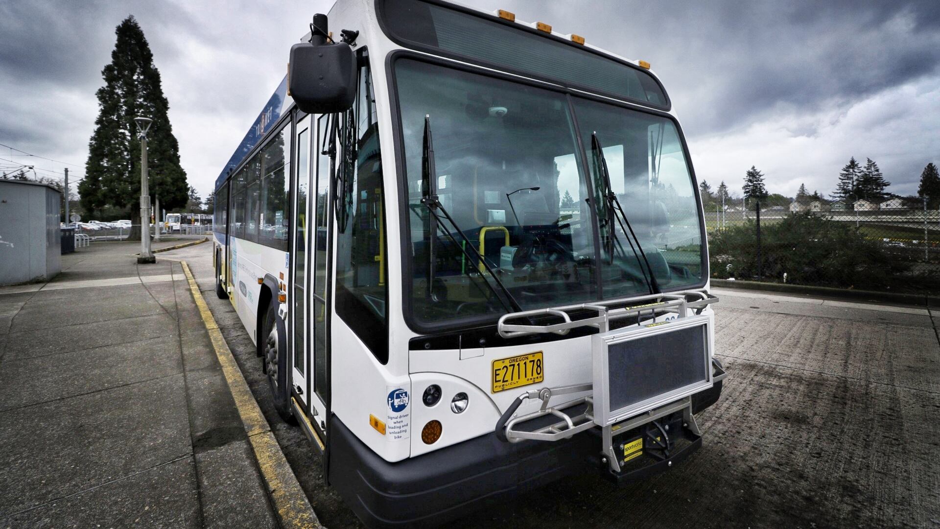
On Dec. 3, the Portland Bureau of Transportation released tentative blueprints for where it hopes to set road lanes aside to move TriMet buses past rush-hour traffic.
PBOT want to present details of the plan, called the Rose Lane Project, to City Council by February 2020. The agency used TriMet data and an advisory panel to determine which roads would be improved, and based the decisions on which corridors had the most congestion and largest number of riders. Twenty streets were named in the preliminary plans announced yesterday, as BikePortland first reported.
The blueprints are part of City Commissioner Chloe Eudaly's vision to get more Portland commuters using public transport rather than driving motor vehicles, a vision that would carve out miles of public transit-only lanes to cut down on travel times.
The roads named in yesterday's blueprints east of the Willamette River include Belmont, Southeast Hawthorne, Northeast MLK Boulevard and Northeast 122nd Ave.
Roads west of the river include Southwest Capitol Highway, Southwest Washington and several streets along Southwest Terwilliger Road.

The full list—ordered from 1 to 20—here.
Eudaly debuted her plan in June, as WW first reported—but with it came an outcry from motorists who believe that fewer available roads for motorists in a city where the population continues to rise and road congestion leaves commuters frustrated daily would only increase the city's worst bottlenecks.
The success of Eudaly's plan hinges on convincing motorists to switch to public transit.
In June, Eudaly told WW that the plan was a critical step in reducing carbon emissions and increasing access for historically secluded communities near the outskirts of town who are more likely to use the bus.
"I feel an urgency to act on these issues because people are struggling and suffering right now, because the clock is ticking on climate catastrophe, and because I only have a finite amount of time to get this work done," Eudaly told WW in June.
In October the first of the bus-only lanes included in the plan were painted bright red in downtown Portland, sandwiched between 1st and 2nd avenues along Southwest Main Ave. The bright paint aims to alert drivers that only buses, streetcars and bikes can use the lanes—no cars or motorcycles allowed.
To reach the city's ambitious climate action goals, 25 percent of Portlanders need to be riding public transportation by 2035. Currently, only 13 percent of Portlanders reliably use public transportation.
