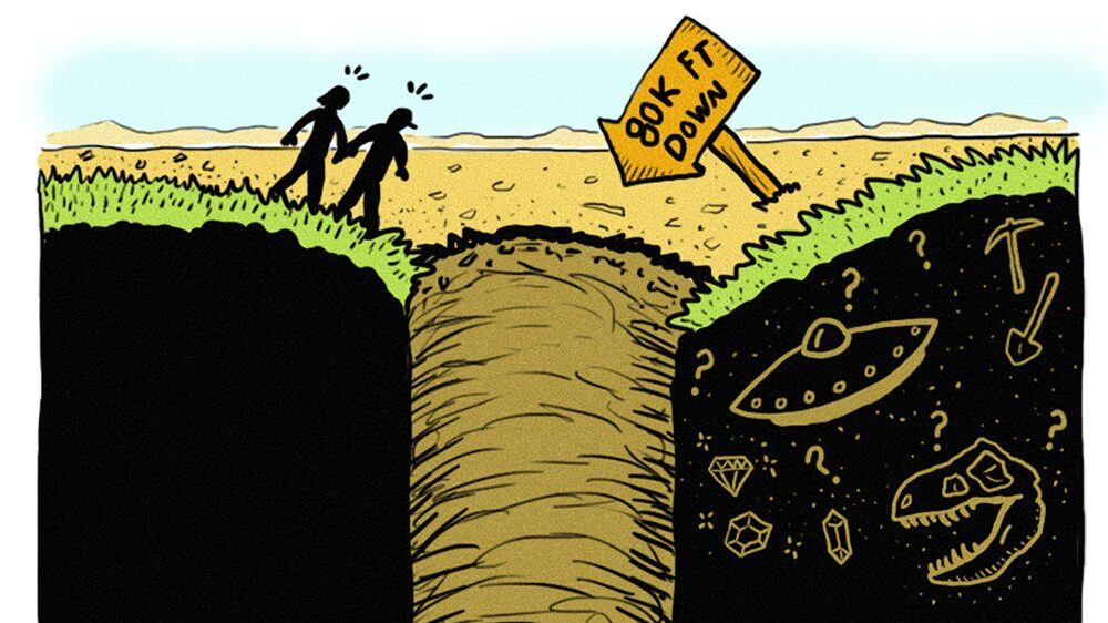
In 1997, a Washington man identifying himself as Mel Waters phoned the radio show Coast to Coast AM with a story that was peculiar even for a program about government conspiracies and supernatural phenomena: He claimed there was what appeared to be a "bottomless hole" on his property. He estimated the cavity was at least 80,000 feet deep, and described it as having "paranormal powers."
Waters phoned the show a few more times after that, at one point claiming the government had paid him a large sum to leave the property for good. Then the calls abruptly stopped.
On the one hand, it would seem the entire story was a desperate grab for attention by a man who was either delusional or a complete con artist. Investigators could find no one named "Mel Waters" ever living in Kittitas County, and no one else has claimed to come across the mysterious abyss, except a Native American shaman who, in 2012, told reporters he'd first seen the hole back in 1961 and had been back several times. When investigators asked him to lead them to the abyss, he couldn't find it.
But on the other hand—what better reason to go on a hike than investigating an urban legend?
For locals in Ellensburg, Wash., Manastash Ridge is effectively their Forest Park, in terms of an easy escape into nature. It's part of a basalt plateau that runs for 50 miles between Ellensburg and Yakima. It's also the area where Mel Waters purported to live. So if you want to try your luck at finding the infinite pit, a good place to start is the Westberg Trail, a steep, 4-mile up-and-back climb, that'll take you to a good vantage point to search for any odd divots in the landscape.

Even if you don't stumble across Mel's Hole, the Manastash Ridge is still epic, rich with wildflowers and sweeping views of the Kittitas Valley. The Westberg Trail is exposed, so be sure to wear sunblock and a hat, and bring plenty of water, especially when hiking during summer.
From the parking lot on Cove Road, head down the road through a gate and cross a small footbridge. Continue straight and you'll gradually climb a desert trail lined with sagebrush. In less than a half-mile, you'll come to a fork. Take a left to continue on the Westberg Trail, and then get ready to climb 2 miles. The hike summits at 1,800 feet, where you'll find a memorial to the trail's namesake: Ray Westberg, a popular Ellensburg High School wrestling coach and teacher who hiked the trail frequently. (His walking stick has even been donated to the Kittitas County Historical Museum.) You can either go back the way you came or opt for the shorter, shaded Boy Scout Trail.
All the while, keep an eye out for any unusually deep-looking holes. Just stick to the trails and don't veer onto private property. And remember: The truth is out there, although it may be just a collapsed mineshaft.
Westberg Trail at Manastash Ridge
Distance: 4 miles round trip
Difficulty: *** (out of 4)
Drive time from Portland: 3 hours, 45 minutes
Directions: From Interstate 84 east, take exit 104 for US 97 north toward Yakima. Stay on 97 for about 80 miles then use the left lane to take the I-82/US 97 ramp to Yakima. After about 40 miles exit onto US 90 west and then take exit 109 for Canyon Road toward Ellensburg. Turn right onto Canyon Road, then left onto East Umptanum Road, then right onto Manastash Road. After about 3.5 miles, turn left onto Cove Road. The parking area will be on the right.