Hot, dry weather and high winds are never a good combination. It's even worse when the winds are of potentially historic strength.
The National Weather Service has placed Northwest Oregon and Southwest Washington under a critical fire weather warning due to the confluence of high temperatures, low humidity and rare easterly winds that are predicted to hit upward of 35 mph in the Portland area beginning in the late afternoon.
It's only the second time such a warning has been issued in Oregon, according to a tweet by the Oregon Climate Office.
Normally, winds of such velocity do not occur until winter, when the air is cold. East winds during warm months happen only a few times every century, according to Will Ahue, a meteorologist for the National Weather Service's Portland office.
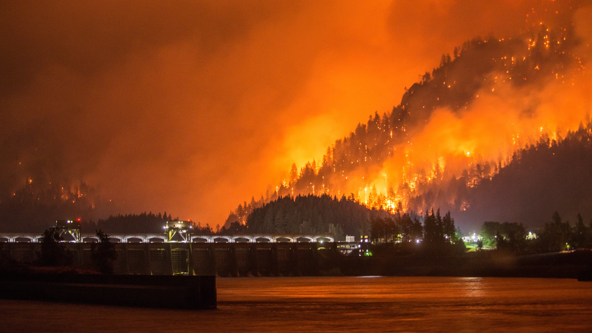
Similar conditions caused the rapid spread of the Eagle Creek Fire in 2017, which coincidentally started on Labor Day weekend that year—except these winds are expected to be even stronger, with gusts reaching 60 mph at high elevations and in the Gorge.
The winds arrived mid-afternoon Monday, bringing with them smoke from the Lionshead Fire near Mount Jefferson and the Beachie Creek Fire in Opal Creek. The Oregon Department of Environmental Quality issued an air quality advisory for the Willamette Valley and Portland metro area, which will be in effect until 5 pm Tuesday.
The winds are expected to peak overnight then ease by Tuesday evening. Ahue warns of falling debris from trees and potential power outages.
"The good news is, the fires that are out there are being managed by teams, so there's no weather criteria to start a fire," Ahue tells WW. "It would have to be a human-caused fire."
So don't leave fires unattended, check for any dragging chains on your car, and for God's sake, don't light off any fireworks. Also maybe consider cutting the pyrotechnics from your gender reveal party.
