Winter is finally over, and you know what that means: It's wildflower season!
And that, of course, also means clogged trails and cars lined up down the road at popular sun-soaked spots like Dog Mountain. But the Columbia River Gorge is not the only option for viewing a floral fantasia—from the Coast Range to the sprawling 'burbs of Beaverton, colorful blooms are happening all over our corner of Oregon. Skip the car caravan and try these instead.
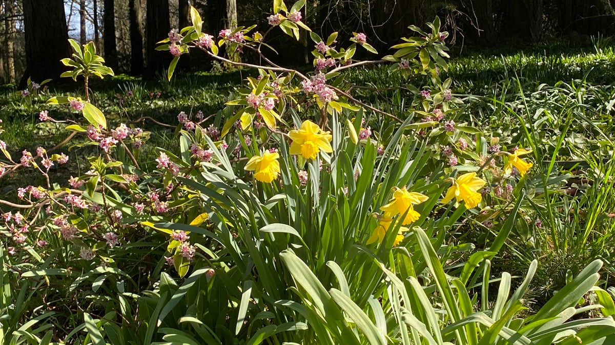
Jenkins Estate
Listed on the National Register of Historic Places, Jenkins Estate is a 68-acre park located on the slope of Cooper Mountain in Beaverton. The site was purchased by Ralph and Belle Jenkins in 1912 as a summer home, though it became too expensive to keep up once the couple died. It was then bought in the 1970s by Tualatin Hills Park & Recreation District in an effort to restore the grounds, gardens and the early 20th century house and stable while "preserving a look at the early 20th century genteel lifestyle." There are only 2 miles of trails to explore here, but the property is well maintained, and the tranquil vibe immediately makes you feel at ease when entering. Take an afternoon to walk through the gardens, enjoy views of the Tualatin Valley, and absorb all kinds of wildflowers, namely orange daylilies and coneflowers.
Directions: From US 26 west, take exit 69A for OR 217 south toward Beaverton/Tigard. Drive for 1.7 miles, then take exit 2A for OR 8/Canyon Road and OR 10/Beaverton-Hillsdale Highway. Turn right onto OR 10, drive 5 miles west on Farmington Road, and turn left onto Southwest Grabhorn Road. After less than a half-mile, turn right onto a restricted usage road, then left and another right.
Canemah Bluff Nature Park
With so many old houses and that decrepit, abandoned paper mill, Oregon City likely has more than a few resident ghosts, particularly in Canemah Bluff Nature Park, which has a cemetery that dates back to 1864. Along with a creepy graveyard, the park, which sits on an ancient landslide above the Willamette River, has around 2 miles of trails that take you past an overlook of Willamette Falls, the largest waterfall by volume in the Northwest. While walking the trails be on the lookout for Camas lilies, Oregon sunshine and rosy Plectritis. It's possible that the Canemah Historic Pioneer Cemetery, which has graves of early pioneer families, will be gated. Though you can still take a peek through, please, no séances or "Thriller" dance parties.
Directions: From I-205 south, take exit 9 for 99E toward Downtown/Oregon City/Gladstone. Use the left two lanes to turn left onto 99E/McLoughlin Boulevard. After almost 2 miles, turn left onto Hedges Street and then left onto 3rd Avenue. Go 300 feet before turning right onto Ganong Street. Curve right onto 4th Avenue for another half-mile and pull into the lot by the playground.
Saddle Mountain State Natural Area
At 3,290 feet, Saddle Mountain is Clatsop County's tallest mountain. With an elevation gain of almost 2,000 feet, it's a great alternative to Dog Mountain for those looking to get in a proper leg workout. Located in Oregon's Coast Range, the climb up Saddle Mountain State Natural Area is rigorous and steep, so prepare to wind up a good number of switchbacks that take you through a forest of Douglas fir and Sitka spruce. Also be prepared for the false summit as you near the end. The good news is, you'll be rewarded with rolling meadows cloaked in wildflowers once you reach the summit, as well as a panoramic view toward the ocean, with views of Nehalem Bay, Tillamook Head, and the Astoria-Megler Bridge. You can see all kinds of flora, such as the Pacific bleeding heart, pink fawn lily and the Saddle Mountain bittercress, which, as the name suggests, is pretty much exclusive to the area. Though many wildflowers begin to pop out in April and May, those on Saddle Mountain don't come out till June.
Directions: Take US 26 west for 64 miles and make a sharp right onto Jubilee Road. Drive another 7 miles and you'll reach Saddle Mountain State Natural Area.
Silver Falls State Park
Silver Falls State Park is known for, well, its waterfalls. But in the spring, the park is also home to lots of wildflowers, like Oregon grape, wood violet and fireweed. Be sure to keep an eye out while hiking the park's extensive trail network. In addition to wildflowers, the park is especially green and lush in spring due to the rainy season, and the waterfalls are gushing in full force. The park also was the setting for a strange historical event: On July 1, 1928, "Daredevil Al" Faussett drew in thousands of spectators who paid money to watch him ride a small boat over South Falls, the 177-foot waterfall located near the park's entrance. The boat was attached to a cable, but it snapped on his way down, causing the boat to flop into the water pool below. Faussett survived but suffered multiple injuries.
Directions: From I-205 south, take exit 10 for OR 213 south toward Molalla. Drive 28 miles and turn left onto Valley View Road Northeast. After about a mile and a half, turn right onto Evans Valley Road and then left onto Madrona Heights Drive. Go another mile and a half before turning right onto Forest Ridge, which eventually becomes OR 214 south. Take OR 214 south for almost 10 miles and then pull into the main lot for Silver Falls State Park. There's a $5 day use fee to park.