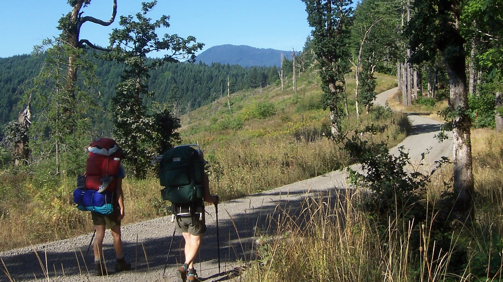
Nearly 50 years in the making, a 60-mile trail from the Willamette Valley to the coast is finally set to open this weekend, giving Oregon hikers another long, uninterrupted through route.
The Corvallis-to-Sea Trail, nicknamed the C2C, officially opens to the public on Saturday, Aug. 21. Ribbon-cutting ceremonies are scheduled to be held at both ends of the path that day, first at 10 am at the Ona Beach Day-Use Area, about 9 miles south of Newport, then at 2 pm inside Corvallis’ Benton County Fairgrounds Floral Courtyard.
Most of the trail traverses lands that are publicly owned and tied to timber management practices. Though it largely follows abandoned roads, gated corridors, and existing low-traffic roads, hikers should be mindful that there are a few miles where you’ll be walking on the shoulder of open streets and even one short stretch of highway. Online maps can help direct you to a shorter segment if you’re not comfortable trekking alongside traffic.
C2C planners say it’s possible to complete the entire hike in three days, but a person moving at a more leisurely pace should aim for five or six. And since there are numerous trailheads accessible from U.S. Forest Service Roads along the entire route, you can tackle it bit by bit with day trips.
Most recreationalists will head east to west, so the reward that awaits at the end is, of course, the Pacific Ocean—but that’s not the only natural spectacle to leave you in awe along the way. At the C2C’s summit in the central Coast Range, there is a side trail to reach Marys Peak. At just over 4,000 feet, it is the highest point in that sierra, offering views of your final destination, provided you’re not socked in.
Through-hikers are advised to plan their overnight stays carefully. Camping is only allowed on Siuslaw National Forest land. Other than the Big Elk Campground around the trail’s midpoint, all other camping is dispersed and must avoid private grounds.
Another warning: Natural water sources are hard to come by in the farthest western third of the route, so be sure to pack plenty to drink.
The idea for what would become the Corvallis-to-Sea Trail was spawned in 1974 by a recent graduate of Oregon State University’s School of Forestry. Two years later, a coordinator of the Oregon Recreation Trails System requested that the final plan for the development of the Marys Peak Unit include a complete trail from the valley to the coast.
Following some opposition from private landowners and timber representatives, the project seemed to fade into obscurity until the early 1990s. At that point, the proposed route shifted slightly to appease property holders in the arena, but it hit another snag when the Corvallis Watershed Management Advisory Commission objected to the path passing through its lands.
After that setback, the Forest Service and Bureau of Land Management recreation resources plummeted to the point where those agencies could hardly maintain existing paths and facilities. The Siuslaw National Forest then adopted a “no new net trail miles” policy.
Though it would seem C2C was bound for extinction following two failed attempts to get it off the ground, the plan was revived in 2003 when a meeting was held in Corvallis to determine whether there was still any interest. That’s when the Corvallis-to-the-Sea Trail Partnership was formed. The grassroots organization ended up conducting thousands of hours of route exploration, public outreach, and other planning.
The eastern portion of the route opened in 2016, and the western half recently wrapped up construction after the Forest Service gave its approval in 2018.
If you’re gearing up for an ambitious Pacific Crest Trail hike—just the 460 miles that cross Oregon or the entire 2,650-mile course—C2C would be a good place to start. And you don’t have to worry about dropping a car at the beach to get you back home: Buses serve nearby Seal Rock and Newport and will take you all the way back to Corvallis.
