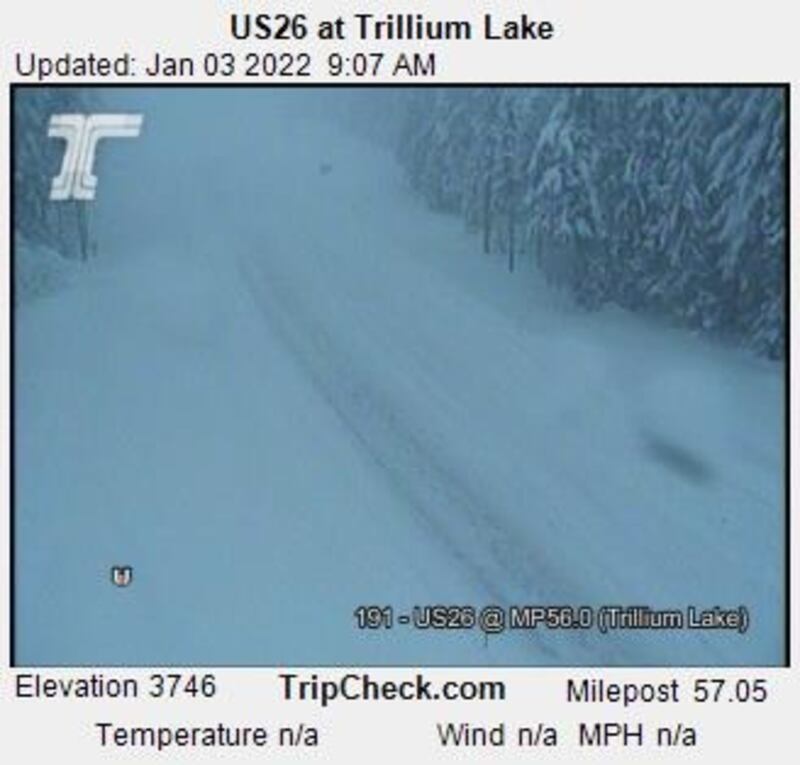
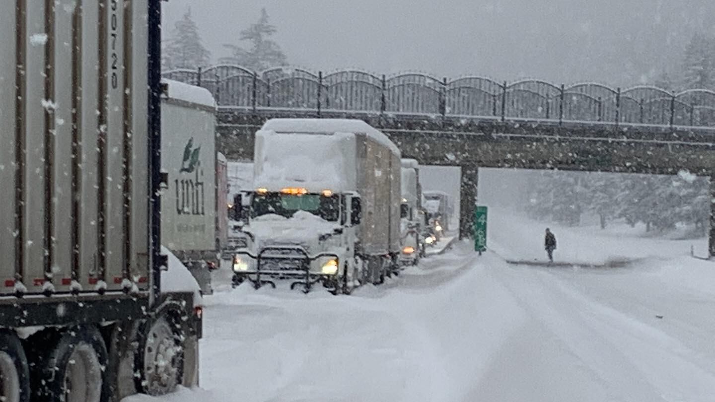
Powerful winds, heavy snowfall and whiteout conditions battered much of Oregon late Sunday and into Monday, prompting everything from an avalanche warning on Mount Hood to major highway closures in the Columbia Gorge and much of Eastern Oregon.
Early this morning, the Oregon Department of Transportation shut down all lanes of Interstate 84 between Troutdale and Hood River—a nearly 50-mile stretch that’s already seen as much as 8 inches of snow since 2 am, according to the National Weather Service. Another segment of the highway is closed to westbound traffic from The Dalles to Hood River.
And there’s no easy way to detour around that snag by heading north into Washington. Across the Columbia River, transportation officials have barred access to State Route 14 from Camas to the Hood River Bridge. Crews there are not only dealing with snow accumulation, but also dangerously large icicles that have formed inside tunnels along that highway. There is no estimated reopening timeline at this point.
Our crews from the Gorge sent these pics. Underneath there is I-84. 😳
— OregonDOT (@OregonDOT) January 3, 2022
I-84 remains closed EB and WB from MP 17 near #Troutdale to MP 64 near #HoodRiver due to extreme winter weather including whiteout conditions & multiple crashes. Expect a lengthy closure. #orwx #pdxtst pic.twitter.com/LrCGdhFcWy
In the eastern half of Oregon, essentially all of I-84 is off-limits to some degree. Restrictions are in place in either one or both directions, beginning 7 miles east of Pendleton and extending all the way to Ontario on the Idaho border.
Despite the treacherous conditions and closures, drivers are still venturing out and putting themselves at risk. ODOT has now issued an urgent message after drivers started bypassing roadblocks and then became stranded on snow-covered roads. The agency stresses that motorists need to stay out of restricted areas since crews may not be able to get to anyone who needs help for hours, perhaps even days. Blowing snow continues to blanket many routes—even those that have been plowed—and in many areas, poor visibility has prevented ODOT from conducting any maintenance.
If news of all that snow has you itching to hit the slopes, it’s best to wait a beat before you hop in the car.
There is now an avalanche warning for the Mount Hood area, in effect through this afternoon. The National Weather Service says that heavy accumulation coupled with strong gusts has boosted the potential for snowslides, and anyone who is planning to travel to the backcountry should do so with extreme caution.
ODOT has even stronger advice for ski resort-bound traffic: Do not travel on Highway 26 or 35 in the passes right now. Weather-related delays in those areas are at least two hours long.

Meanwhile, residents along the coast are no longer dealing with last week’s snowfall, but the latest storm to blow through did topple trees and take down power lines, causing widespread outages last night. The Central Lincoln People’s Utility District reports that thousands of homes and businesses in Lincoln, Lane, Douglas and Coos counties are still in the dark today.
The Gorge and Eastern Oregon may see a bit of a break in severe weather on Wednesday, as higher pressure shifts across the region, pushing out the precipitation, according to the National Weather Service. But the Cascades should continue to see light snowfall, and another robust storm system is forecasted to hit the coast on Thursday.
