Distance: 1.5-mile loop
Difficulty: ★ out of ★★★★
Drive time from Portland: 1 hour, 45 minutes
Directions: From Portland, take Highway 26 for 20 miles to Highway 6. Drive the length of Highway 6, 51 miles, to Highway 101 in Tillamook. Take Highway 101 south for 11 miles and make a right onto Sandlake Road. Drive 4.3 miles and take a left at a stop sign to stay on Sandlake Road. Go 3.6 more miles and make an easy-to-miss right onto Whalen Island Road. Carefully drive across a one-lane bridge and bear right into the Clay Myers State Natural Area to reach the parking lot and trailhead.
Restroom availability: Vault toilets at the trailhead
At 1.5 miles, the hike around Whalen Island isn’t long. There’s not much elevation gain to speak of either, barely 80 feet. But with regard to varied scenery, the patch of land in Tillamook County approximately 6 miles north of Pacific City is much like its larger and more-renowned neighbor, the Sitka Sedge State Natural Area. Even though Whalen Island has been there for hiking long before Sitka Sedge opened to the public, it’s still just hanging out in relative obscurity.
Situated in the same Sand Lake estuary, the route offers something new around every corner when it comes to scenery. During the course of this little loop, you’ll pass through grasslands, forests, dunes, beaches and mudflats—and probably be sad when it’s over. Very Sedge-like, just tighter in presentation.
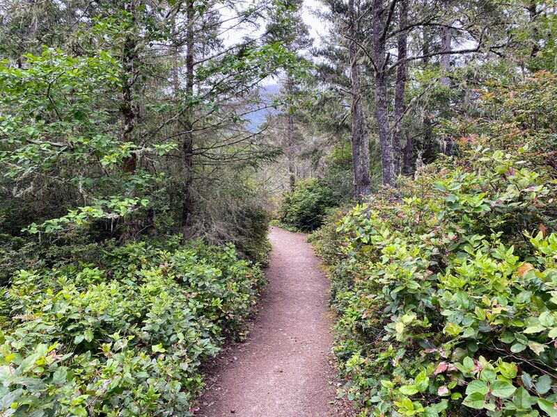
The trail begins just beyond a gate at the north end of the parking area. It briefly passes through grassland before entering an open forest with occasionally tight corridors of salal and rhododendron. The trail dips and weaves its way along the east side of the island, providing occasional views of the estuary. Near the northern end of Whalen, you’ll gain more of a canopy. A spur on the right leads to the island’s edge and a proper viewpoint before the trail bends left toward Sand Lake.
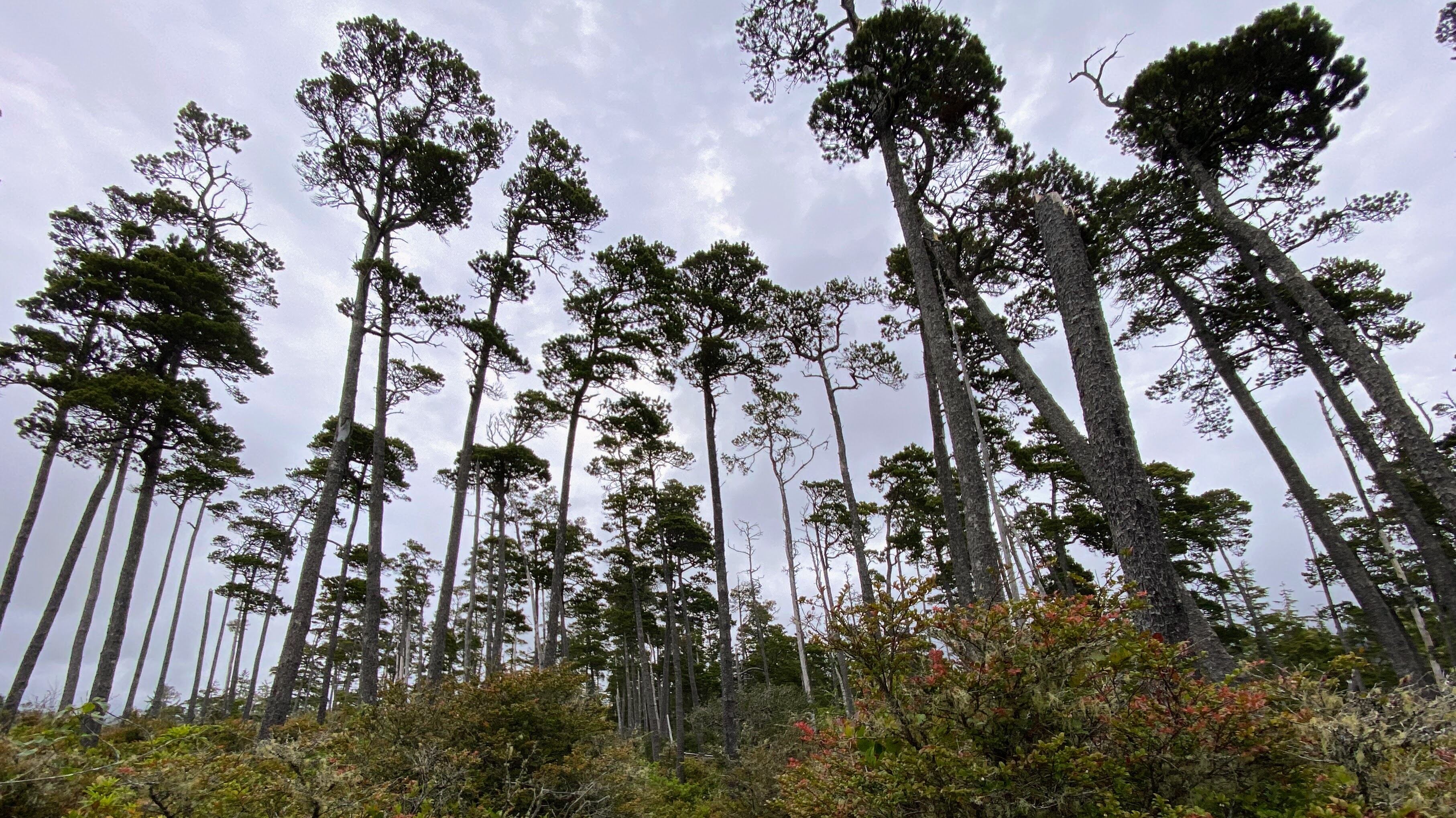
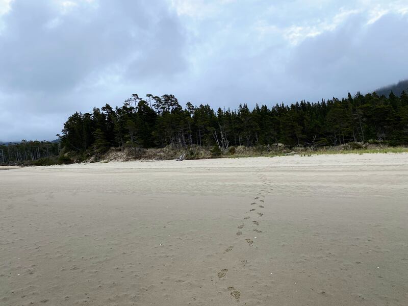
The scenery changes again as you enter a grove of mature trees something akin to a shore pine Serengeti. You’ll soon encounter more spur trails leading to the water—some better than others with regard to viewpoints and beach entry. But bide your time; better access lies just ahead. The trail briefly rides a ridgeline and then descends across a pleasantly unexpected sand dune before arriving at a set of boot paths. Each leads to perhaps the best beach area on the west side of the island. During low tide, you can walk a fair distance out onto the mudflats if you’re into that sort of thing.

The trail then enters an enchanting forest of shore pine and beach grass. The combination makes for a remarkably pleasant stretch along a soft path of pine needles and sand. Through this section, you’ll encounter more trails providing beach access and viewpoints if you need them. Leaving the pines, the trail rises once more before diving into a shady, vegetated tunnel and emerging at a viewpoint at the Whalen Island County Campground. Continue to the left, and you’ll soon arrive at a three-way junction. Go right if you’d like to explore another fine but potentially more popular beach along the island’s south side. Going straight would get you to the campground. Or stay to the left and return to the parking area in about 100 yards.